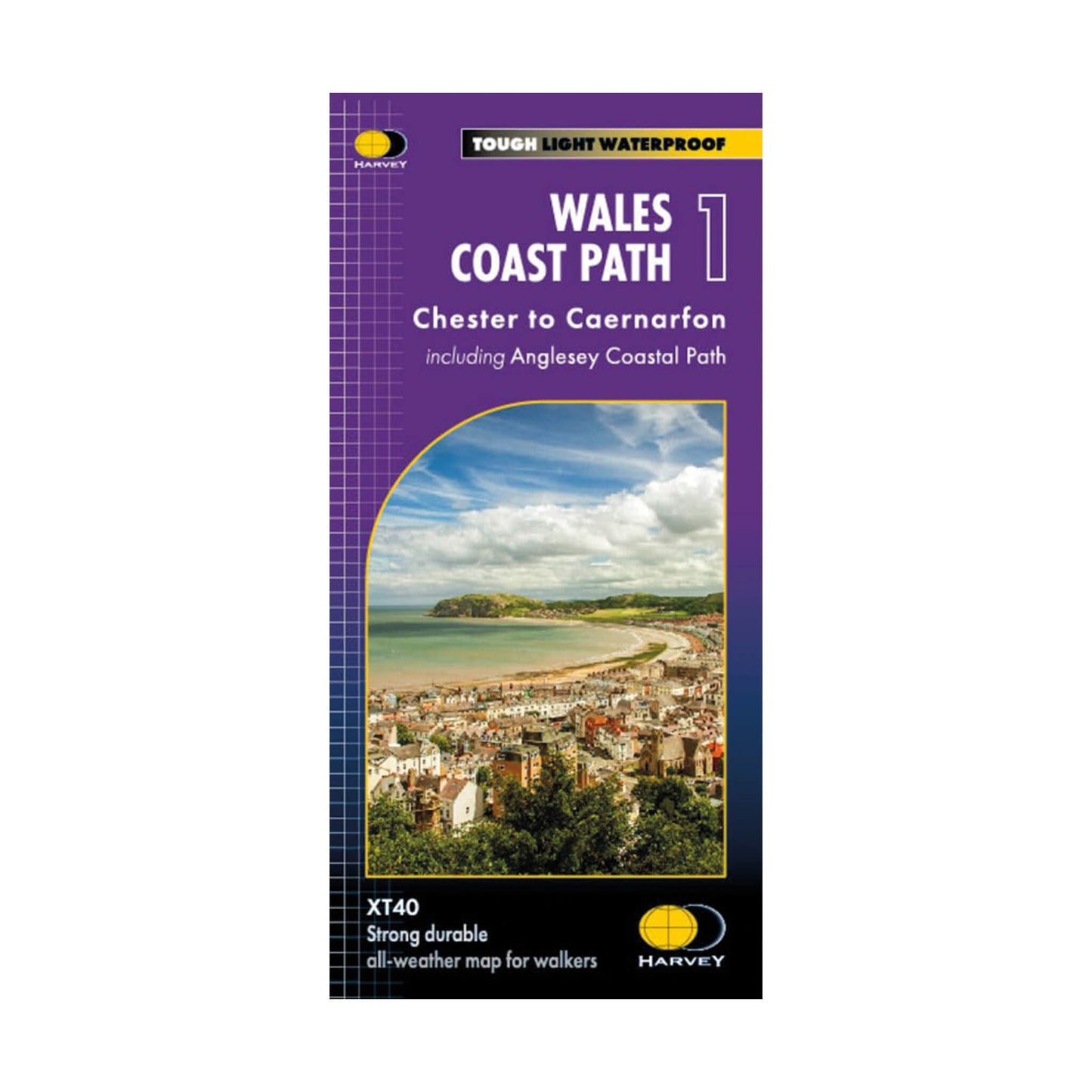
Wales Coast Path Trail Map 1 - Chester to Caernarfon - Harvey Maps
Regular price
£17.50
Regular price
Sale price
£17.50
Unit price
per
Tax included.
Shipping calculated at checkout.
Couldn't load pickup availability
The Wales Coast Path is a breath-taking 870-mile trail that hugs the Welsh coastline. The entire route is covered by 4 maps, each featuring a section of the path suitable for about 2 weeks of walking. Map 1 covers the 221 miles (355km) from Chester to Caernarfon including the picturesque Isle of Anglesey. This lightweight and 100% waterproof map is perfect for planning your route.
- Strong, Durable and Lightweight: Weighs less than 75g ensuring you travel light.
- 100% Waterproof: Stay on track, rain or shine.
- Exceptionally Clear and Easy to Read: The route is clearly marked in red.
- Comprehensive Information: Includes facilities, services and key information along the route.
- Planning and Travel Tips: Offers advice on accommodation, useful contacts and travel tips.
- Covers the Route from Chester to Caernarfon including the Anglesey Coastal Path.
- 1: 40,000 Scale.
- Language: English
With its clearly marked route, this map is the perfect guide to navigate the Wales Coast Path from Chester to Caernarfon and help you make the most of your time exploring this beautiful coastline.


